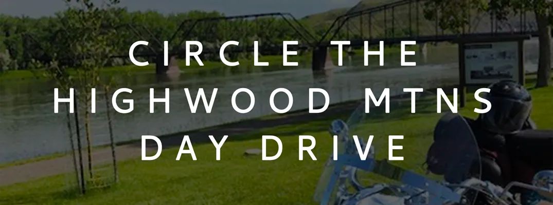
Circle the Highwood Mountains Day Drive
Trip Length: 228 miles
A really fun afternoon ride takes you around the base of Square Butte, to the historic riverboat town of Fort Benton, and around the westerly rim of the Judith Basin, the Highwood Mountain Range.
Start by heading north on Hwy 191 ten miles to the junction with Hwy 81, then west 30 miles to Denton, passing between the North and South Moccasin Mountain ranges.
After a leg stretch at the Longbranch at Denton, continue west to the junction with Hwy 80, right at the base of Square Butte. From there, travel north, stopping to experience the Square Butte Country Club (use a bit of humor in your expectations), possibly a stop at Geraldine for gas and a beverage, then on to Fort Benton.
Schedule in some time to look around here. There are two excellent museums - one of the agricultural history of the area, the other the Museum of the Upper Missouri. Just riding along the riverfront and checking out the local stores and eateries makes for a memorable experience.
Afterwards, backtrack less than a mile to cross back over the Missouri River and take Hwy 228 south 30 minutes to Highwood, skirting around the mountains on the west side. There you will find Elmo’s, a great little bar and grill.
From there, you’re only 20 minutes away from Belt, with its several bars, grocery store, and eateries. After resting up, head east 40 miles on Hwy 87 to Stanford for a stretch, then on back to Lewistown, stopping at the Bar 87 in Windham, the Tall Boys Tavern in Hobson, Eddies Corner, or Melch’s Bar in Moore on your way.
Gas Locations En-Route: Geraldine, Fort Benton, Belt, Stanford, Eddies Corner, Moore
Refreshments: Denton, Square Butte, Geraldine, Fort Benton, Highwood, Belt, Stanford, Windham, Hobson, Eddies Corner, Moore