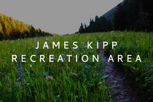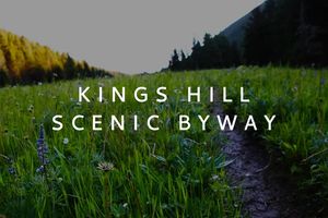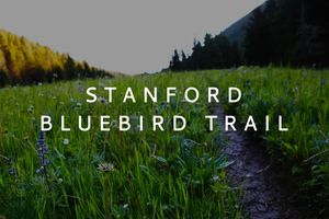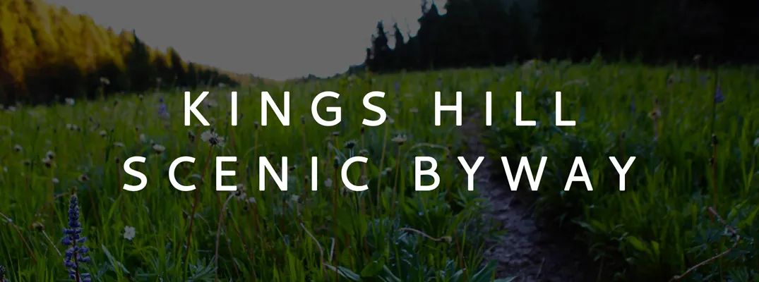
Kings Hill Scenic Byway
The Byway travels up to 7,393 feet elevation, through 71 miles of forests and limestone canyons in the Little Belt Mountains. Stops and detours on less-traveled roads allow for bird watching at different habitats and elevations. Best viewing is mid-May through July, with spring arriving latest at highest elevations. No fee.
Primary Activities
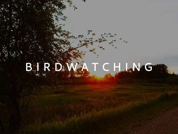
Birdwatching
Highlighted species include calliope hummingbird, white-throated swift, mountain chickadee on 3/4-mile trail to creek crossing at Sluice Boxes (at trail fork 50 yards from outset, go right to avoid trespassing); red-naped sapsucker, mountain chickadee, drumming ruffed grouse in aspen along Dry Fork Road (be careful not to trespass on private in-holdings miles 3-7. See Travel Map and note orange paint sometimes on posts.) Possible northern pygmy-owl last couple miles before turnaround. American dipper (Memorial Falls); willow flycatcher, dusky flycatcher, MacGillivray's warbler (winter parking); Clark's nutcracker, Steller's jay, Cassin's finch, pine grosbeak at King's Hill/Porphyry Peak; possibly ruffed grouse near campground, dusky grouse (formerly blue grouse) near lookout, hovering rufous or calliope hummingbird near anyone wearing red. At Jumping Creek American dipper, Steller's and gray jays, Swainson's and hermit thrush, sandhill crane. Sandhill crane, common nighthawk east of Newlan Reservoir; spotted sandpiper, western grebe at reservoir; sandhill crane, mountain bluebird, golden and bald eagles, red-tailed hawk, maybe northern goshawk along drive to White Sulphur Springs. Brewer's and vesper sparrows in sagebrush.
Information courtesy of Central Montana Birding Trails.
How to Get There
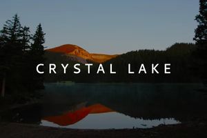
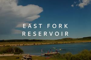
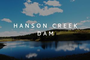
From Junction US 87/89 east of Belt, take US 89 south. Stops: Sluice Boxes Stare Park (mile marker 62, follow signs 0.3 miles); Dry Fork Road, 11 miles to fork, then back (mile marker 50, turn east onto gravel road); Memorial Falls (mile marker 35); Winter Recreation Parking Area (mile 30); Kings Hill Campground/Porphyry Peak Lookout (campground at pass, lookout accessed from campground by 1.5-mile road for high-clearance vehicle); Jumping Creek Campground; at milepost 8 leave byway, drive west to Newlan Reservoir, making looping route over dam on Road 259, then left (east) onto Highway 360 to White Sulphur Springs, returning to byway north on US 89.